Mapping Green Dublin
We are map makers, geographers, artists, activists and residents of Dublin.
Mapping Green Dublin is a collaborative action research project led by UCD’s School of Geography in collaboration with arts organisation Common Ground, artist Seoidín O’Sullivan and event facilitators Connect the Dots. It will take place across Dublin 8 from 2019 – 2020 and is funded by the EPA.
Mapping Green Dublin’s first task is to map the span and territories of trees and green space across Dublin 8, identifying their location and quality, identifying green space deficits and future needs.
Mapping Green Dublin‘s series of curated events from March – May 2020 will map out a proposed process for co-creating urban greening solutions focussing more on local identity and the possibilities for future creation. A co-created greening plan from the bottom-up ensures that greening interventions respond to neighbourhood needs, have high social and cultural value within the community and maximise opportunities for urban wellbeing.
Mapping Green Dublin’s research aims to identify specific areas for focused greening interventions. An anticipated deliverable from this action research project is a process map to enable local authorities and other policymakers to engage with local communities and develop bottom-up approaches to appropriate urban greening.
What we mean by ‘green’: an interconnected network of greening that encompasses parks, streams, gardens, rivers, hedgerows, trees, sports pitches, ponds, weeds, verges, green roofs and walls…(all green and blue (water) spaces in the study site of Dublin 8).Take a look at a selection of our recent projects, crafted with care and designed to make an impact. Each one tells a story of creativity, collaboration, and results.
PLOTS
Creating co-ordinates for collective futures.
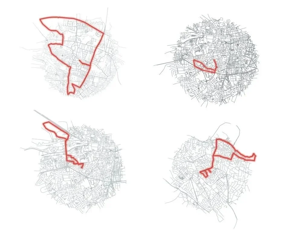
PLOTS is a site of communal mapping, exploration and gathering, created by artist Seoidín O'Sullivan in July 2020 as part of the research programme for Mapping Green Dublin. In response to Covid-19 restrictions, PLOTS invited people to map their local 2km walk, run or cycle route — combining geographical fieldwork with artistic walking and drawing to build a shared picture of green space across Dublin's South West Inner City.
Sixteen resulting PLOTS maps were exhibited at Goldenbridge Cemetery in August 2020, forming part of the Dublin 8 community atlas used to inform a local greening strategy.
Camac Walk 2021
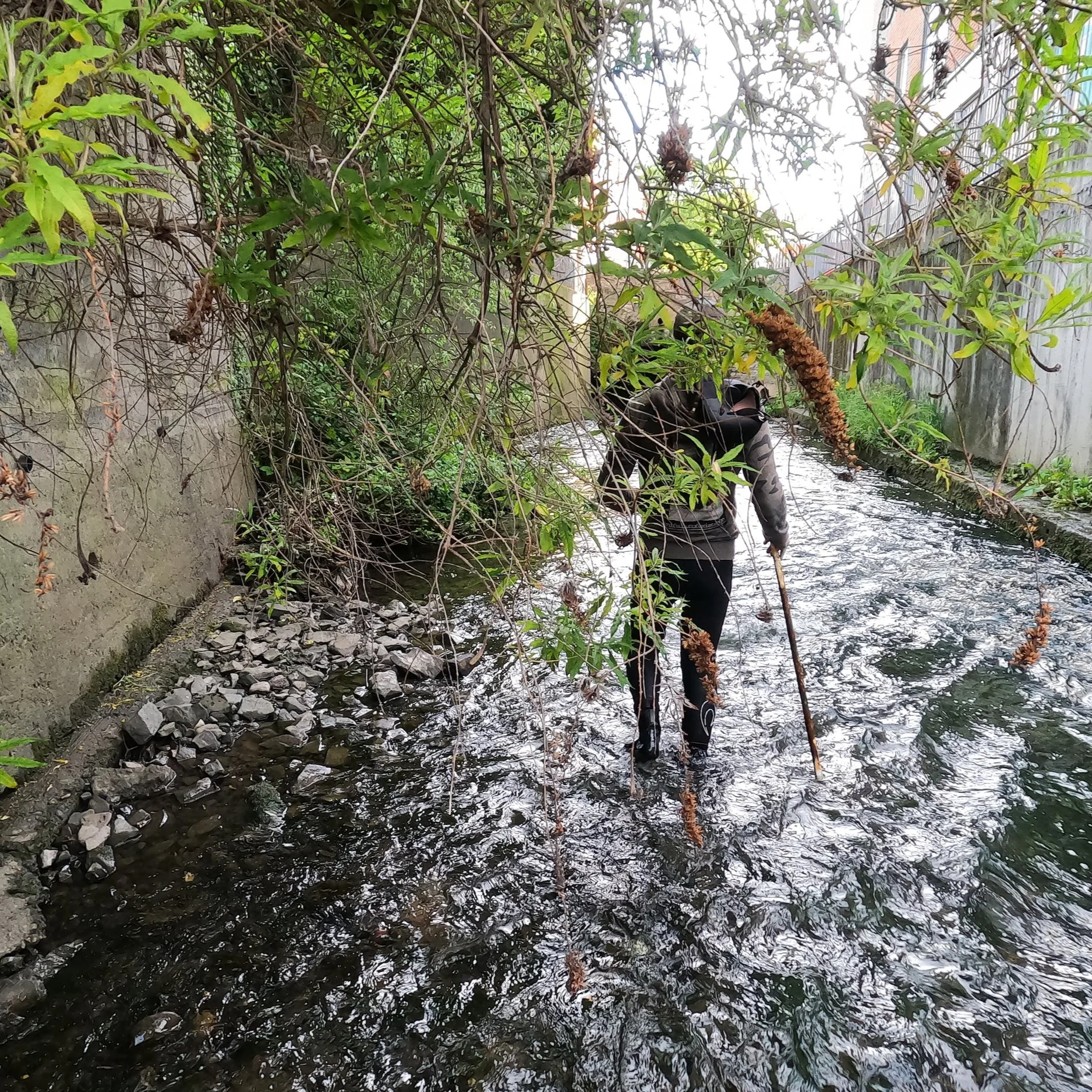
A number of community initiatives and citizen science/mapping events took place in the broad study area of Dublin 8. This story-map describes one of those events, Walking the Camac, which took place on August 18th 2020, during a relative lull in the lockdown restrictions of the COVID-19 pandemic.
The idea behind Walking the Camac was a live citizen mapping event, which consisted of interested local citizens, researchers, artists and others doing a go-along walk along the River Camac in Inchicore. While a number of stops were planned, the walk was also open to other interruptions and encounters along the route . https://storymaps.arcgis.com/stories/86034131772240048475e33778bbe544